Valuing the Trees of St George's Field
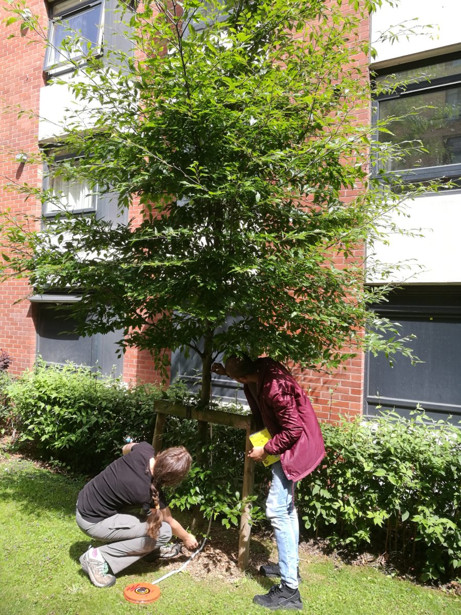
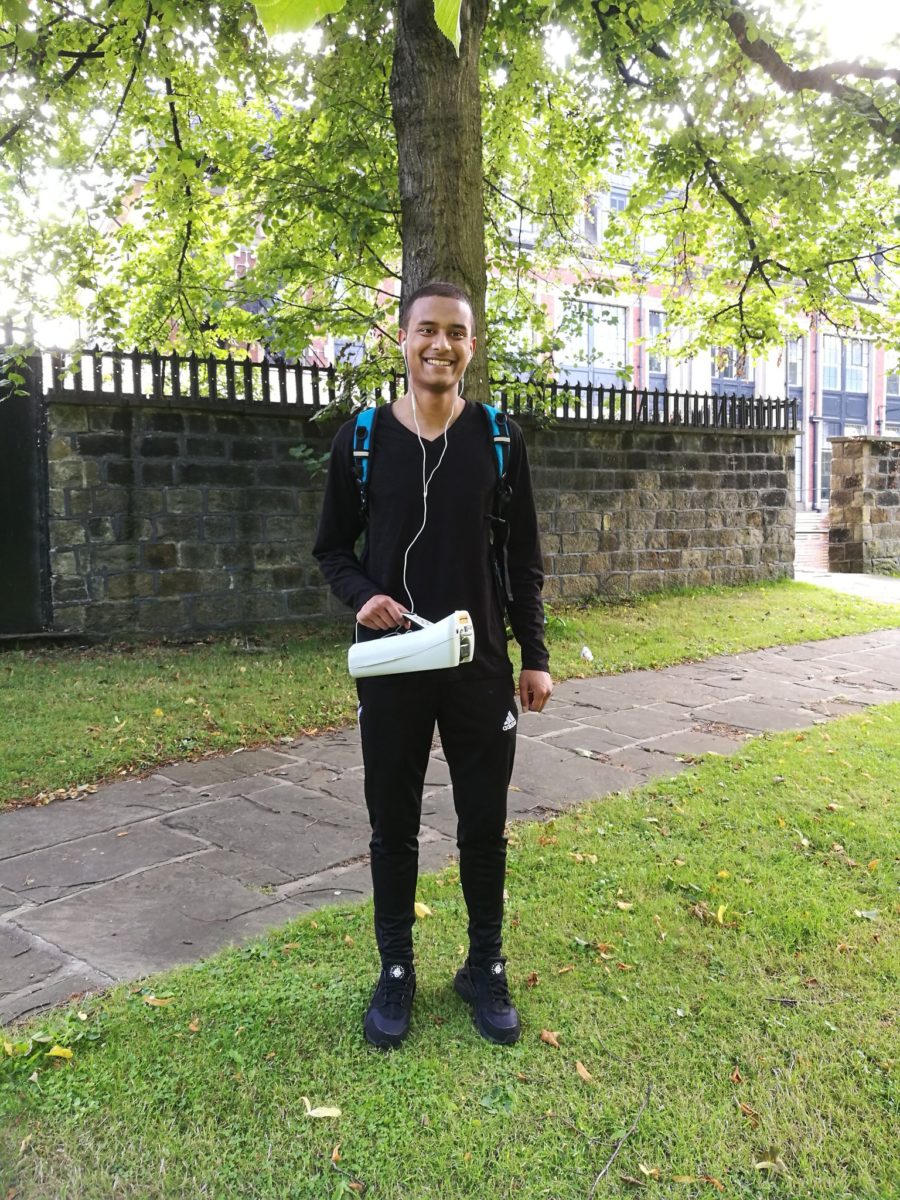
By Abyed Chowdhury St. George’s Field is also known as Woodhouse Cemetery and it contains over 250 trees that were big enough for surveying. After collecting the relevant data from the surveying sessions, which took about three weeks, I used the i-Tree Eco software to work out the values of each tree. The values were calculated from the benefits the tree provides, such as storing carbon, removing pollution and providing oxygen. For the learning stage I collected the tree data from around campus, before starting surveying in St. George’s Field. The first week consisted of learning how to measure the height of the trees with a partner and survey other values which can be put into the i-Tree software. The survey consisted of creating a map and identifying the trees with their scientific names and giving them unique IDs. Measurements that were recorded were; the total height, the live top, circumference, north-south distance of the crown base, east-west distance of the crown base and the crown base height. The % condition and the % missing of the tree is estimated. Surveying lasted about 3 weeks with two 2 hour sessions to get the 269 trees done. Over that period there were 18 different volunteers and I attended most of the sessions. During that period I also took part in a mini project, which involved me making measurements of particulate pollution around campus. This required me to walk around the campus, including St. George’s Field, with a condensation particle counter (CPC) and an optical particle counter (Dylos air quality monitor). The results were much clearer using the CPC, which showed that the air in St. George’s Field contained far fewer particles compared to the roads outside the campus. Collecting data for the air pollution required me walking with the Dylos and CPC monitors around the campus. The CPC monitor was borrowed from the Institute for Transport Studies and it gives a pollution reading every second, whereas the Dylos gives an average for every minute. Strava was used to keep track of the walking route and then the data from that app was extracted to give the location at a given time. This was then computed with Excel to give the correct pollution reading along the route. The results from the air pollution around campus were certainly as expected, showing St. George’s Field to have lower levels of air pollution than the surrounding areas, especially the main road, Woodhouse Lane. The data I collected will be used in the first stage of a new Living Lab project with the Sustainability Service to explore the air quality on campus. I am currently in my last year of MEng Civil and Structural Engineering course and during this summer I had the opportunity to try something different and explore other areas of research. My placement was funded by the Natural Environment Research Council through the SPHERES Doctoral Training Programme. Cat has made my experience really enjoyable and pleasant. The placement gave me a glimpse into research and how challenging yet enjoyable it can be. I am also glad I had the chance to meet other PhD and postgraduate students in the School of Earth and Environment. I wish Cat and all the people I have met the very best! I hope my research made some kind of difference and maybe one day I shall return to the School of Earth and Environment.
This summer I undertook an 8 week Research Experience Placement in the School of Earth and Environment. I was contributing to the i-Tree Leeds project by working out the economic value of the trees in St. George’s Field, located in the north side of the University of Leeds campus.