Discovery of ‘hidden forests’ adds to global forest area
Scientists from the School of Geography are involved in a study that finds at least 9% more forest cover across the globe than was previously assumed.
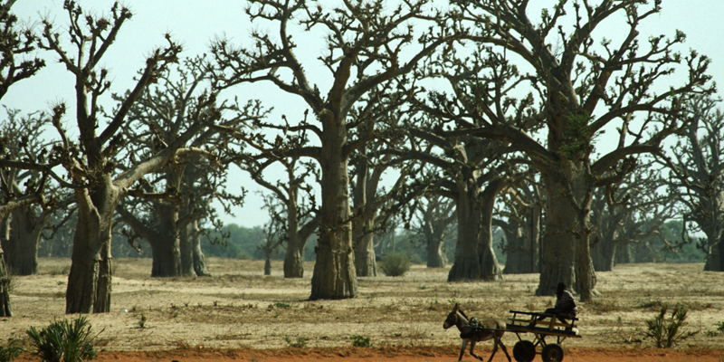
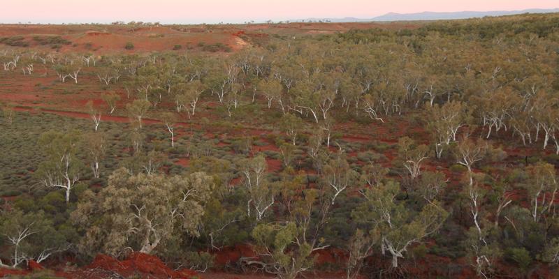
By using very high resolution satellite imagery available through Google Earth, they found an additional 467 million hectares of forest in the world’s drylands – arid areas that cover 42% of the Earth’s land surface.

A group of researchers at Leeds led by Dr Alan Grainger was part of an international team headed by Dr Danilo Mollicone of the Food and Agriculture Organization of the United Nations (FAO) in Rome. Their findings were published last week in Science.
Dr Grainger, from the School of Geography, said: “According to our measurements, in 2015 there were 1,079 million hectares of forest in the world’s drylands.
“This is more than 40% larger than estimated previously, and means the combined area of dry forest is very similar to the area of the more famous tropical moist forest found in such areas as Amazonia, Borneo and the Congo Basin.”
Half of the dry forest is in Africa and Asia and another third in North and South America. Dry forest contains some of the world’s most threatened ecosystems, including seven of its 25 biodiversity hotspots, and is under pressure from both climate change and human activity.
Such a large adjustment is possible because even though dry areas cover two fifths of Earth’s surface, their forest area is poorly known. Monitoring forest in the drylands has long been neglected owing to their assumed low economic value, and to difficulties in measuring tree distributions from space.

For a long time it was generally assumed that global forest area of all types was about 4,000 million hectares, though this figure was known to be uncertain.
“By adding the 467 million hectares of these hidden forests to the 3,890 million hectares of forest found in a recent global forest map, we arrived at a new estimate of 4,357 million hectares,” said Dr Grainger. “This is 9% higher than the commonly accepted total of about 4,000 million hectares.”
The project required painstaking measurement of forest and tree cover in more than 210,000 sample plots by a large international team of 239 researchers across 15 research institutions. Leeds was among five of the institutions to involve its students in the analysis.
Dr Grainger added: “At Leeds we are totally dedicated to integrating our research into our teaching. I’ve never heard of a university involving its students in an international research project of this scale before.”
“Twenty-two of our students, from first year undergraduates to research postgraduates, coordinated by my colleague Nikée Groot, were trained in image analysis by an FAO team and have contributed to a major scientific advance with global implications.”
The drylands are very vulnerable to desertification – human degradation of land exacerbated by drought – which is expected to get worse as global climate changes.
Read the full University of Leeds press release here.
